You want lake life, but the shores of Lake Travis feel like different worlds. Each community offers its own mix of shoreline, dock options, commute tradeoffs, and neighborhood rules. If you understand those differences upfront, you can focus your search and avoid costly surprises. This guide breaks down the major waterfront areas, explains access types, and gives you an inspection checklist to use at showings. Let’s dive in.
What “waterfront” means on Lake Travis
“Waterfront” can mean very different things around Lake Travis. You might see direct shoreline with a private dock, a deeded slip in a community marina, an easement for access, or only nearby public ramps. These details drive lifestyle, maintenance, insurance, and value.
Lake levels on Lake Travis change over seasons and years. The reservoir is managed by the Lower Colorado River Authority, which sets lake and boating guidance and permits certain shoreline uses. Work on docks and shoreline improvements can also require city or county approvals, and floodplain maps may control how and where you can build. For taxes and parcel details, start with the Travis County Appraisal District.
Community-by-community guide
Lakeway
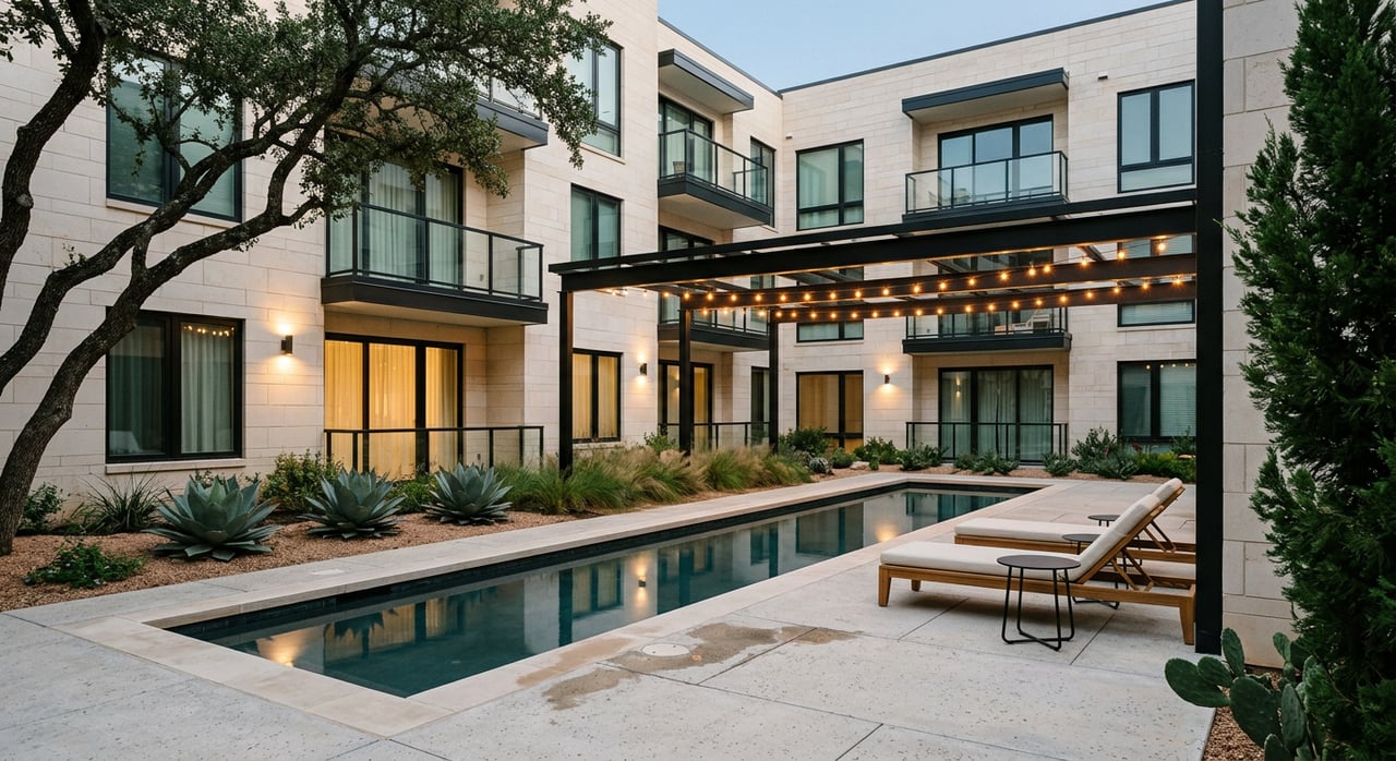
- Lot and shoreline: A wide range. You’ll see large estates on flatter plateaus, terraced lots with big views, and many custom homes in planned or golf communities.
- Lake access: Mix of private docks, community marinas, and public ramps. Some neighborhoods include private boat slips as amenities.
- Commute snapshot: About 30 to 45 minutes to central Austin depending on route and traffic via FM 620 and MoPac corridors.
- Pricing tier: Premium for waterfront, with higher-priced custom homes and gated sections.
- Governance and schools: Inside the City of Lakeway with many HOAs. Much of the area is served by Lake Travis ISD.
- Best fit: Move-up buyers who want resort-style amenities and community structure.
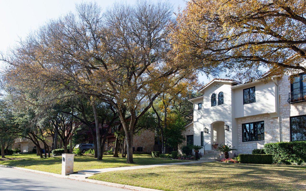
Steiner Ranch and West Austin pockets
- Lot and shoreline: Planned neighborhoods with sidewalks and trails. Many homes sit on slopes or cliff-tops with dramatic lake views rather than direct frontage.
- Lake access: Community access points and docks vary by neighborhood.
- Commute snapshot: Shorter to northwest job centers and moderate to central Austin via MoPac and 360.
- Pricing tier: Mid to premium, especially for strong views or neighborhoods with dock access.
- Governance and schools: Strong HOA presence. Parts fall under City of Austin services. Check parcel by parcel.
- Best fit: Professionals who value predictable amenities and a relatively shorter northwest commute.
Lago Vista
- Lot and shoreline: Mix of flatter lakeside lots and larger rural parcels as you move inland. More affordable waterfront options compared with Lakeway.
- Lake access: A blend of private docks, community marinas, and public ramps. Several subdivisions include community boat ramps.
- Commute snapshot: Often 30 to 50-plus minutes to central Austin via US-183/183A and FM 1431, depending on traffic.
- Pricing tier: Mid-range overall, with some entry-level waterfront compared to the south shore.
- Governance and schools: Inside the City of Lago Vista. Served by Lago Vista ISD. Services can be more limited in rural pockets.
- Best fit: Buyers seeking value on the water, second-home shoppers, or those willing to trade commute time for price.
Jonestown and Point Venture
- Lot and shoreline: Smaller, more closely spaced waterfront parcels compared to western estates. Point Venture is a gated, planned community with amenities.
- Lake access: Community marinas and shared docks in several neighborhoods. Public parks and ramps nearby on the eastern side.
- Commute snapshot: Roughly 30 to 60-plus minutes depending on destination via FM 620, FM 1431, and Leander-Cedar Park routes.
- Pricing tier: Mixed. Point Venture can command a premium for amenities. Other Jonestown pockets trend mid-range.
- Governance and schools: City and HOA layers vary. Point Venture has strong HOA governance. Septic vs sewer can vary by street.
- Best fit: Buyers who want gated amenities and smaller lots with a manageable northwest commute to tech corridors.
Volente and Hudson Bend
- Lot and shoreline: Often smaller lots and older cabin-style homes that are being renovated into primary residences. Expect some steep slopes.
- Lake access: Public parks and ramps nearby. Select areas offer community docks and convenient access closer to Austin.
- Commute snapshot: Among the closest lake areas to central Austin, though traffic can still build on major routes.
- Pricing tier: Entry to mid for many waterfront properties, depending on size and improvements.
- Governance and schools: Some areas sit in unincorporated Travis County. Utilities and septic vary by street.
- Best fit: Buyers who prioritize proximity to Austin and accept smaller lots or older homes.
Briarcliff, Marble Falls, and Horseshoe Bay
- Lot and shoreline: A wide variety, from acreage ranches and equestrian properties to resort-oriented communities.
- Lake access: Public ramps, marinas, and resort marinas depending on the subdivision. Resort communities offer club amenities.
- Commute snapshot: The longest drives to downtown Austin, often 50 to 90-plus minutes.
- Pricing tier: Mixed. Premium in resort communities, with more affordable options in surrounding pockets.
- Governance and schools: Cross-county considerations with Burnet and Llano Counties. School districts vary, including Marble Falls ISD and Burnet CISD.
- Best fit: Second-home buyers, retirees, and anyone prioritizing space or a resort lifestyle over commute time.
Commute vs lake lifestyle: quick guide
Use this short list to narrow your focus:
- Shortest commute to central Austin: Volente and Hudson Bend.
- Resort-style amenities and golf: Lakeway and Horseshoe Bay.
- Most affordable direct access: Lago Vista and some Briarcliff parcels.
- Gated community feel with amenities: Point Venture.
- Big acreage and privacy: Western end near Marble Falls and surrounding ranch areas.
For regional market trends and context, review updates from the Austin Board of REALTORS and pair them with live MLS data from your agent when you are ready to offer.
Waterfront due diligence checklist
Bring this list to every showing:
- Waterfront type: Verify whether you have deeded shoreline with a dock, a deeded or HOA-assigned marina slip, an access easement, or only public ramp access.
- Dock and permits: Confirm dock type, condition, and age, and whether permits are current with the LCRA and local jurisdictions.
- Lake level history: Review recent lake elevation trends to gauge how often docks become unusable or need adjustment.
- Slope and erosion: Note terrain, retaining walls, and any visible erosion. Ask about soil studies and past reinforcement work.
- Floodplain status: Check FEMA maps to understand elevation and insurance implications at the Flood Map Service Center.
- Utilities and septic vs sewer: Confirm water, sewer, electric, and internet. Septic systems can limit additions or pools.
- HOA rules and STR policies: Review dock rules, boat size limits, guest access, and short-term rental policies.
- Marina logistics: Ask about slip availability, transfer fees, and waitlists for community or private marinas.
- Taxes and assessments: Verify taxing entities and estimated property taxes through the Travis County Appraisal District or the relevant county.
Common pitfalls to avoid
- Assuming “waterfront” means a private dock. Many listings rely on community marinas or public ramps.
- Overlooking lake level variability. A floating dock helps but water depth and access still change.
- Ignoring floodplain constraints. Flood zones affect buildability, elevation requirements, and insurance.
- Skipping HOA fine print. Rules can affect boat size, exterior changes, and rental plans.
- Underestimating slopes. Steep lots may need costly retaining walls or tram systems.
How to compare two finalists
- Map access type: Private dock vs marina slip vs public access and how each fits your boating plan.
- Validate permits: Confirm dock permits with the LCRA and local city or county before you move forward.
- Test commute windows: Check peak and off-peak drives for your specific destinations.
- Confirm utilities: Note sewer or septic and any planned utility upgrades on the street.
- Review flood data: Pull FEMA flood zone status and any seller flood claims or insurance history.
- Analyze comps: Ask your agent for recent waterfront sales in the same shoreline stretch or subdivision for true apples-to-apples.
Next steps
Choosing the right Lake Travis community is a balance of access, commute, and long-term value. If you want a clear plan that fits your lifestyle and budget, reach out to a local advisor who knows these shores, the rules, and the nuances of dock and marina logistics. To talk through your goals and map a focused search, connect with Johnny Ronca.
FAQs
How do lake level changes affect waterfront use on Lake Travis?
- Lake Travis levels fluctuate seasonally and across years under LCRA management, which can impact when and how docks are usable. Floating docks and deeper coves can help but do not remove variability.
Do you need flood insurance for a Lake Travis home?
- It depends on your flood zone and lender. Check FEMA flood maps for your address and discuss coverage needs with your insurance provider even if it is not required by a lender.
How do community marinas and slip waitlists work?
- Policies vary by HOA and marina. Some homes include deeded or assignable slips, while others require waitlists or transfer fees. Always verify availability and rules during your option period.
Which school districts serve Lake Travis-area communities?
- Boundaries vary by address. Many south-shore homes are in Lake Travis ISD, while north-shore areas can be in Lago Vista ISD, and western sections may be in Marble Falls ISD. Confirm with the district and the Texas Education Agency.
What permits are needed for a dock or shoreline improvements?
- LCRA regulates docks and certain shoreline uses, and you may also need city or county approvals. Confirm requirements before planning repairs, additions, or new structures.